
Subsurface Utility Engineering
The highest echelon of subsurface utility engineering combining the most recent & advanced technology with the highest trained professionals in the industry.

Subsurface Utility Engineering (SUE)
Subsurface Utility Engineering is the process of identifying, verifying, and documenting underground utilities before excavation or construction. SUE reduces strike risks, prevents project delays, and provides engineers and construction teams with accurate underground data.
Techniques include ground-penetrating radar (GPR), LiDAR, electromagnetic locating, potholing, and geospatial mapping.
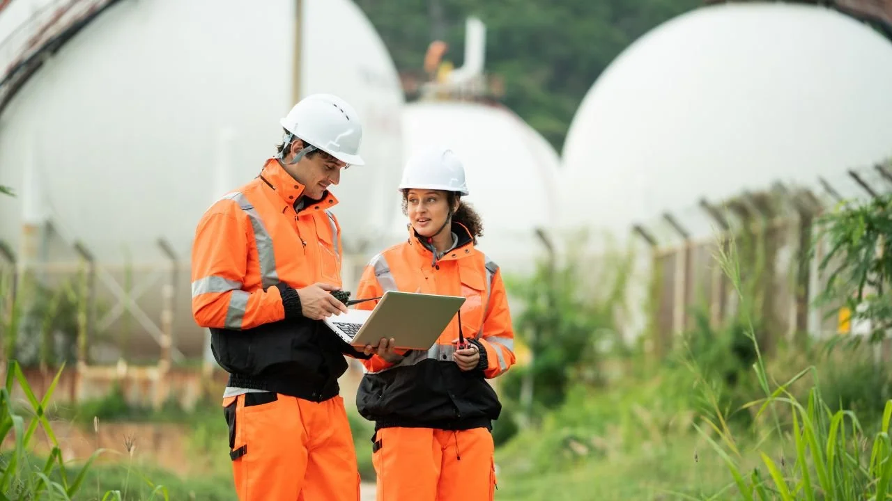
Why McLean?
McLean employs the most advanced SUE technology in the industry — including LiDAR survey systems, Ground Penetrating Radar (GPR), and high-precision geospatial tools. Their Utility Field Technicians are trained at the highest level and use the latest methodology to produce defensible, project-ready SUE data.
With McLean, clients get safer excavations, fewer delays, and more accurate designs, backed by field-proven experts.
What We Offer
Comprehensive Subsurface Utility Engineering Services
McLean delivers full-spectrum SUE solutions designed to accurately locate, map, and manage underground utilities, minimizing construction risks and ensuring safe, efficient project execution. From preliminary surveys to detailed design integration, our team combines advanced technology with expert coordination to protect your schedule and budget.
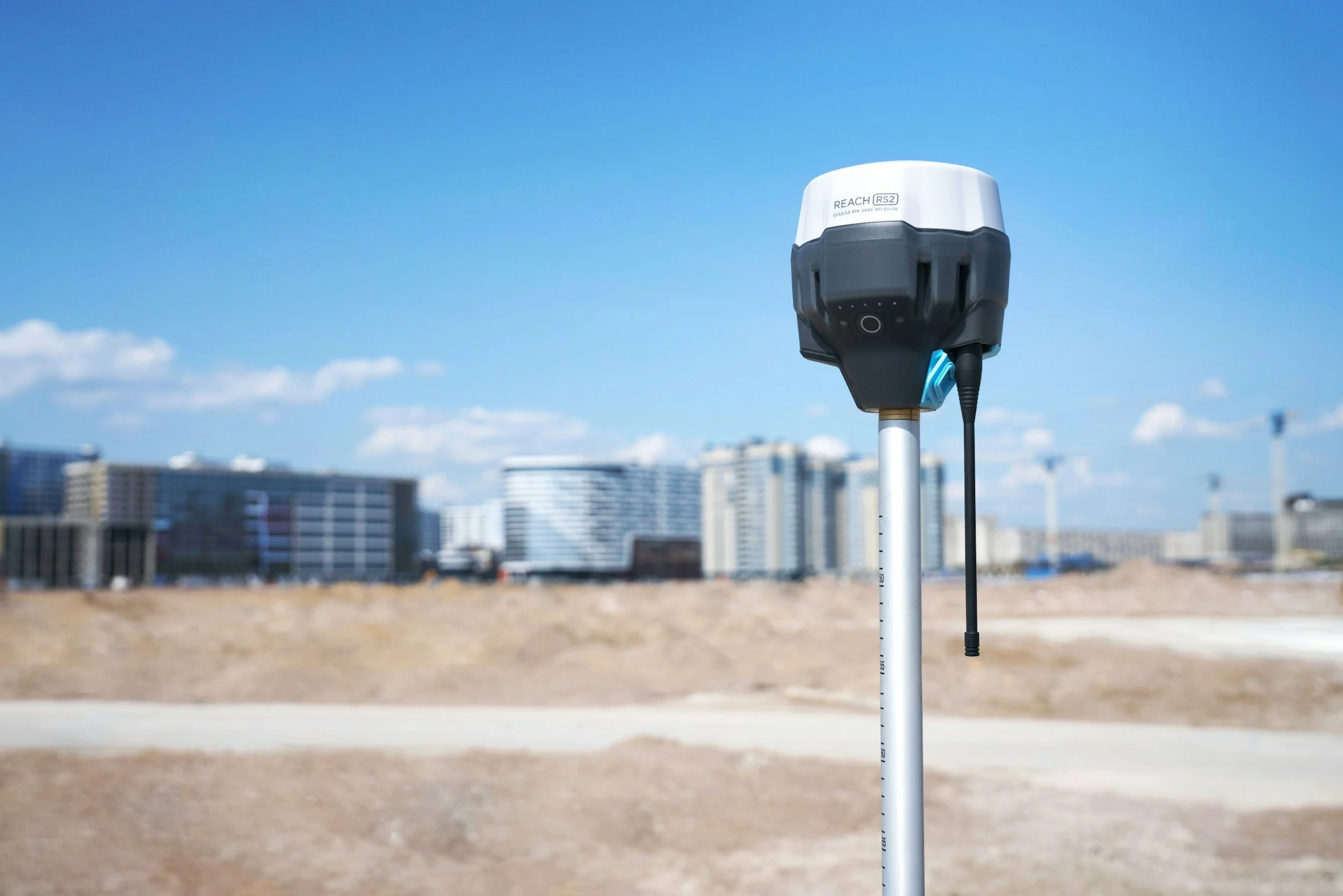
Utility Location, Mapping & Surveying
• Precise underground utility location and designation
• High-resolution utility mapping with GIS integration
• Quality Level (QL) reporting from QL-D through QL-A tailored to project requirements
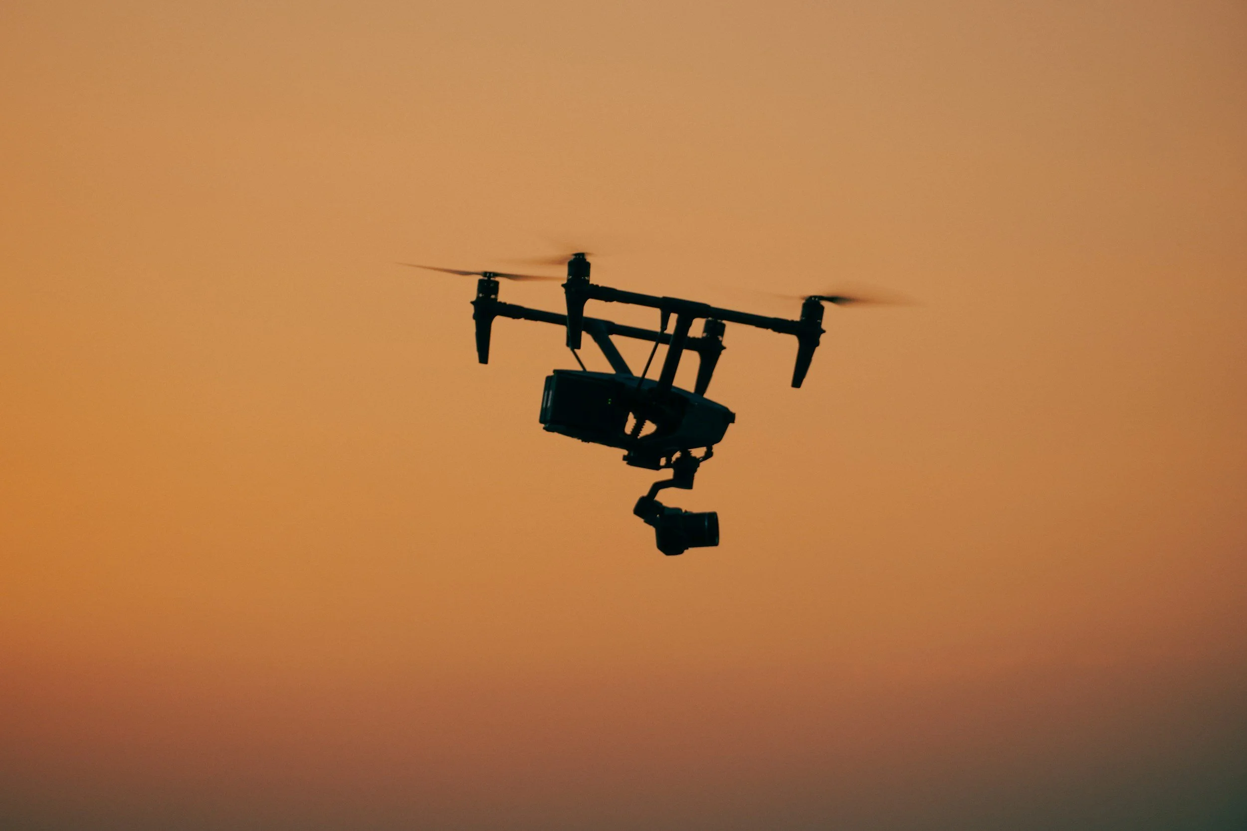
• Integration of LiDAR and aerial drone surveys for comprehensive site data
Advanced Detection & Survey Technologies
• Ground Penetrating Radar (GPR) for non-invasive subsurface utility detection
• Mobile and aerial LiDAR data collection for detailed terrain and utility profiling
• Drone-based site surveys providing accurate, up-to-date aerial imagery and mapping
Utility Coordination & Right-of-Way Support
We streamline communication and approvals to avoid delays and conflicts.
• Coordination with utility owners and stakeholders
• Right-of-way (ROW) acquisition and easement management
• Comprehensive gas inspection services ensuring compliance and safety
Utility Design & Site Survey
Our data-driven utility design supports safe construction and accurate installation.
• Full utility design integrated with field-verified data
• Thorough site surveys capturing both subsurface and surface conditions
• Detailed documentation to support construction planning and permitting
Quality Assurance & Compliance
Every project is executed with strict adherence to safety and engineering standards.
• Industry best practices and regulatory compliance
• Defensible, precise utility data supporting risk mitigation
• Safety-focused methodology minimizing strike risk and delays